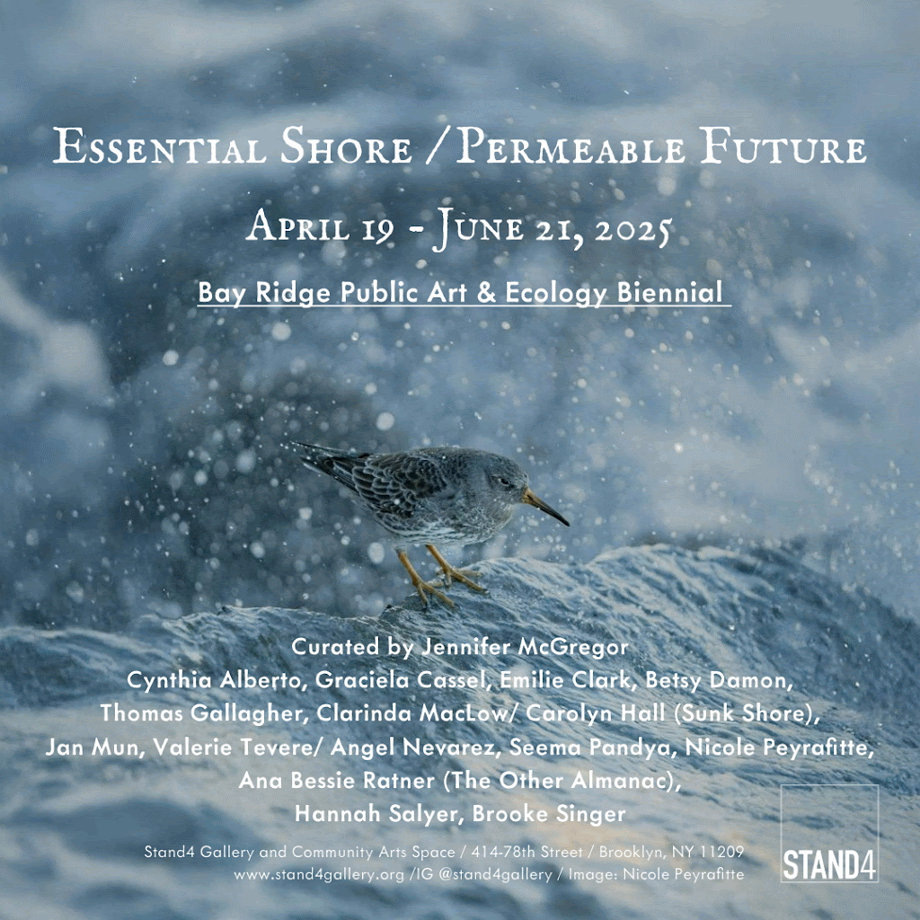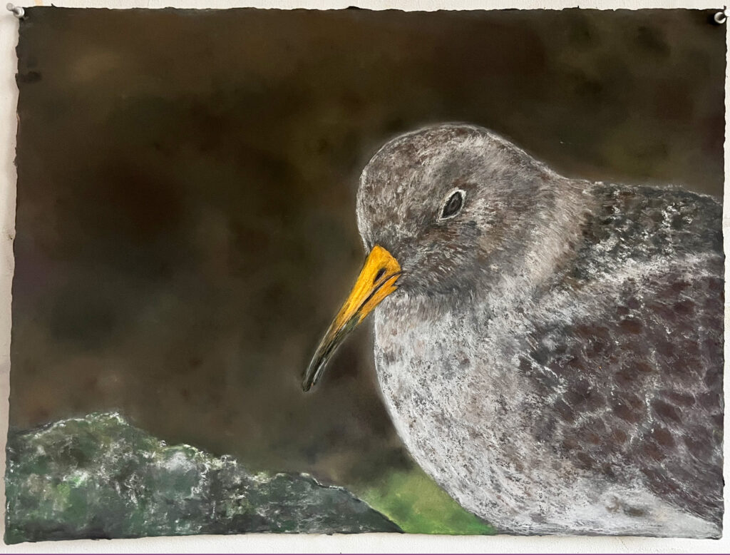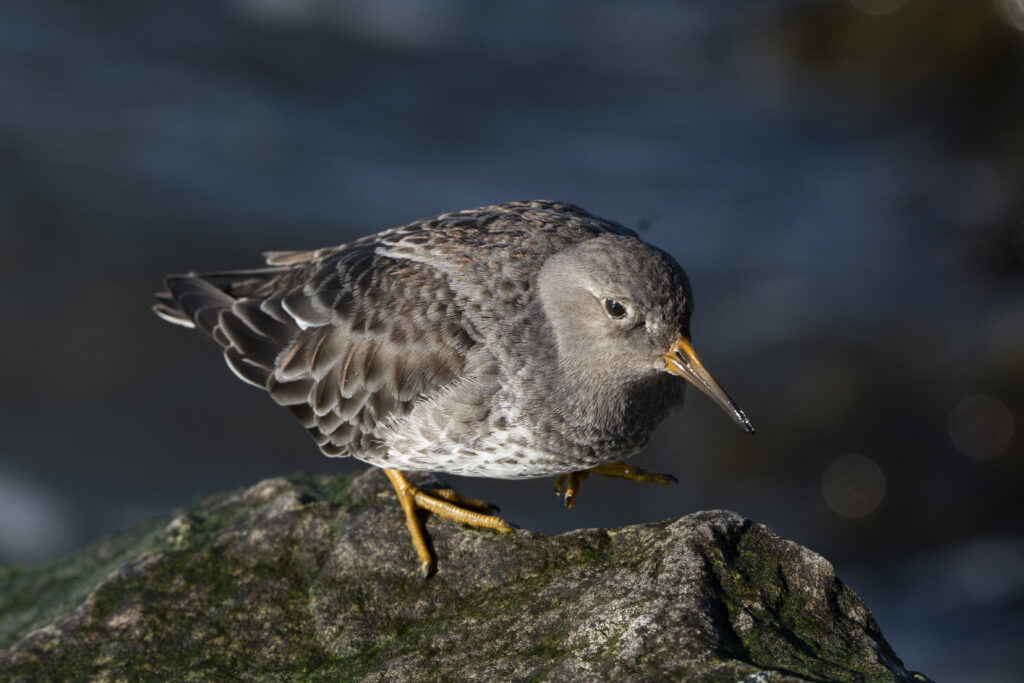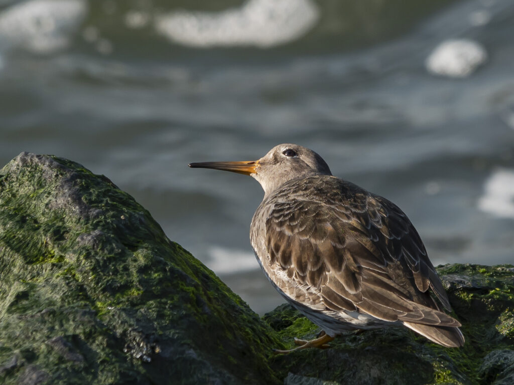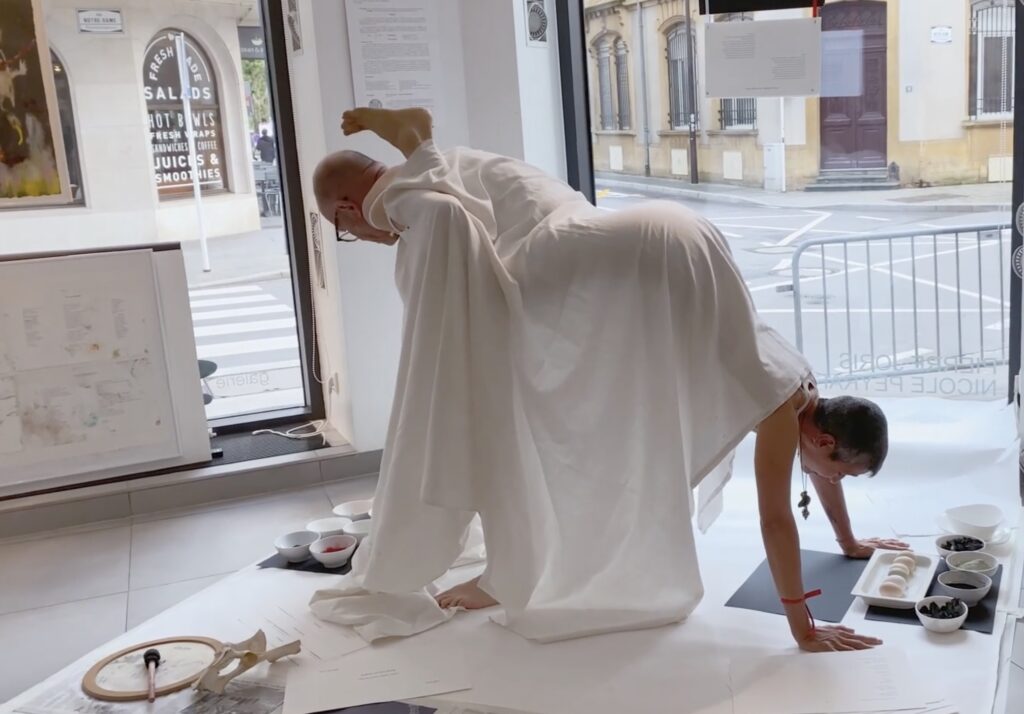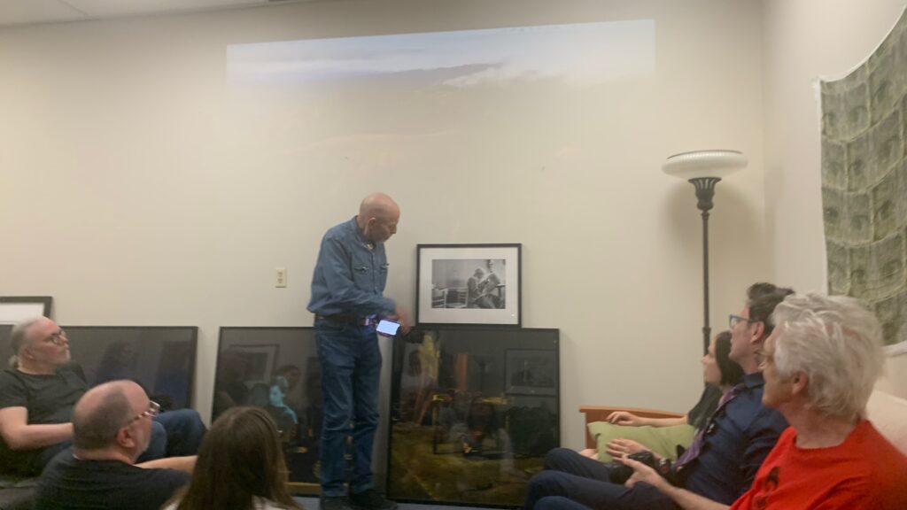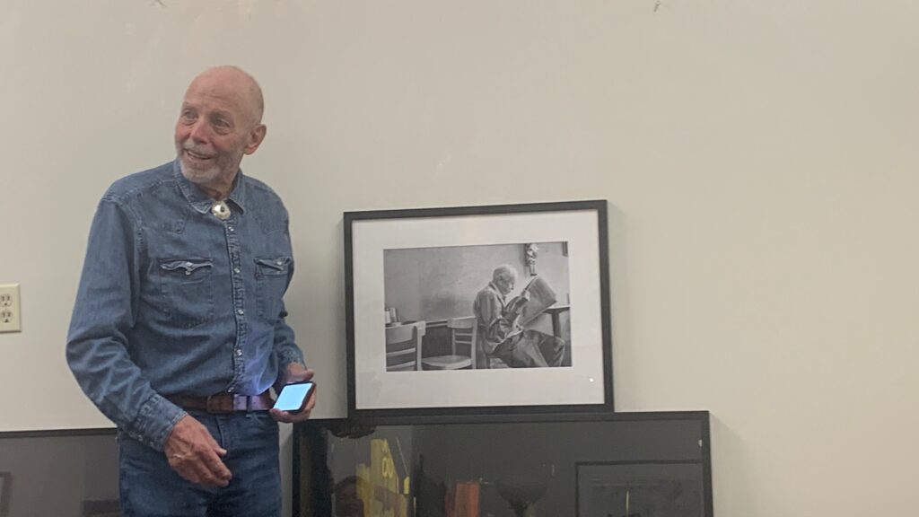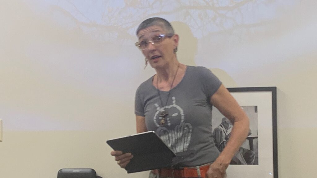


On Saturday, May 3, I had the pleasure of leading a special event aboard the ferry between Corlears Hook and Bay Ridge, organized through the Ferry Community Outreach Initiatives & Jeannine Bardo, director of Stand4 Gallery, as part of the exhibition Essential Shore / Permeable Future, curated by Jennifer McGregor. My focus for this project was the Purple Sandpipers—a migratory, medium-sized shorebird that winters along the Shore Promenade in Bay Ridge, right by the Belt Parkway. They arrive from their high Arctic breeding grounds in Northern Canada in late November or early December and stay with us until late April or early May. By the time of the event, the Purple Sandpipers had already migrated north for the season, so we didn’t get to see them. To make up for it, here is a PDF with more information about the Purple Sandpipers and details about my installation, for those who couldn’t make it to the gallery. The exhibition runs through June 21, so let me know if you plan to visit—I’d love to meet you.

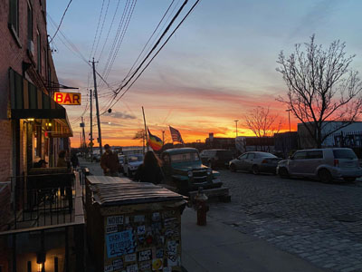
This blog offers a few impressions, documentation, and glimpses—including notes from the day itself, as well as reflections and materials related to its preparation. Uncertain about the weather, I had prepared some materials in case we had to remain inside the ferry. Fortunately, it turned out to be a gorgeous, sunny day, and we were able to observe from the deck, followed by a lovely stroll on the pier and through the Narrows Botanical Garden.
The group included longtime residents of the Lower East Side, Brooklynites from Bed-Stuy & Sunset Park, and myself from Bay Ridge. While the tour focused primarily on birds and nature, I always feel it’s important to contextualize and better understand the shores we journey alongside. I gathered some basic information—some of it drawn from a previous project—to share with the group, and since we didn’t have time to cover everything during the ferry ride, I’m collecting it here as a memento.
First, the list of birds & creatures we saw along our excursion:
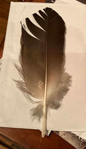
Double-crested Cormorant, Laughing Gull, Ring-billed Gull, Herring Gull, Great Black-backed Gull, American Black Duck, Brant, Canada Geese, Common Tern, House Sparrow, Gray Catbird, Common Grackle, Mourning Dove, Fish Crow (and their nest), Painted Turtle, Box Turtle.

Since we boarded the ferry at Corlears Hook…
Corlears Hook holds a rich and layered history, evolving from a Lenape settlement to a Dutch farm, a site of colonial violence, a bustling 19th-century port, and later, an infamous red-light district. The name comes from Jacobus van Corlaer, a 17th-century Dutch schoolmaster, and also from the shape of the land itself—jutting into the East River like a hook. In the 1820s, the area became notorious for its brothels and, according to some sources, even gave rise to the term “hooker.”
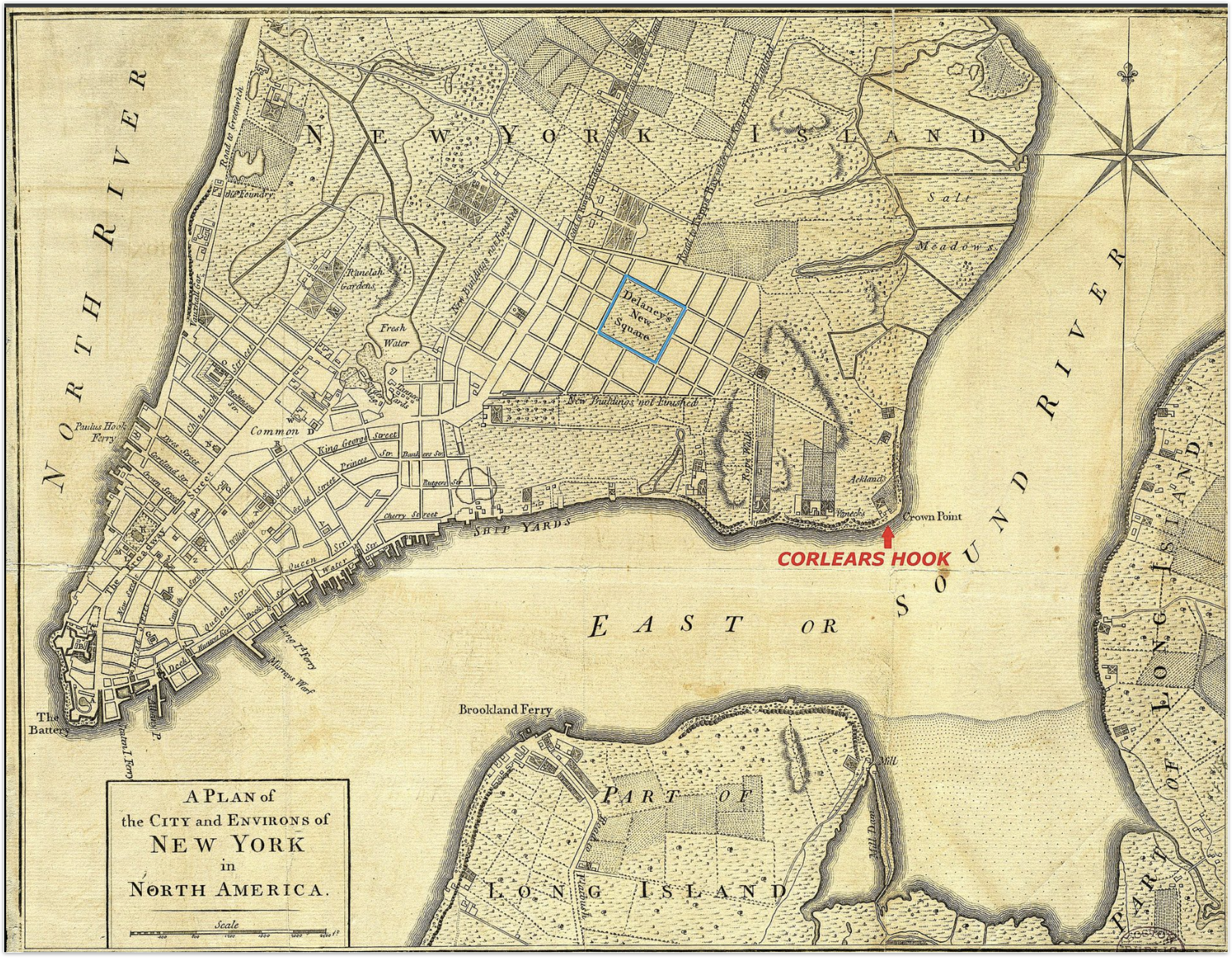

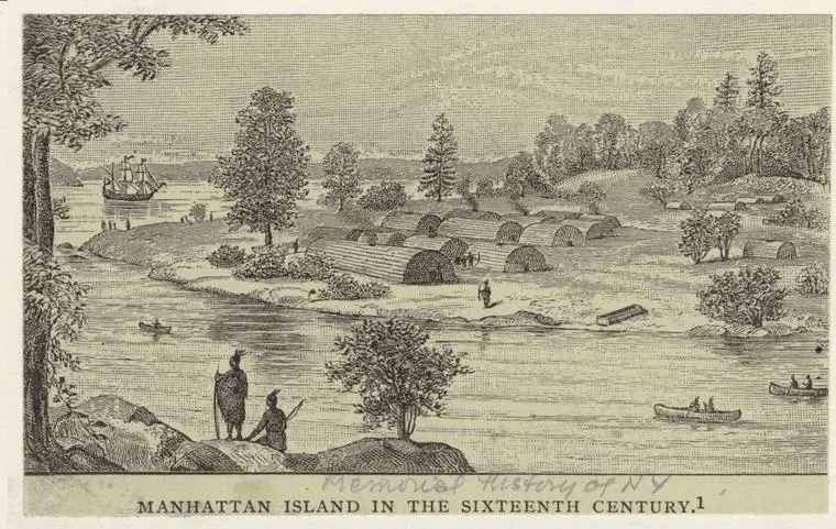
Indigenous Presence and Displacement
Originally marshland, Corlears Hook was used by the Mareckawick group of the Canarsee tribe—part of the Lenape nation—as a canoe landing site. The settlement, called Naghtongh, was covered in swamps and beach land. The Wecquaesgeek, a Munsee-speaking band of the Wappingers people (closely related to the Lenape), lived along the east bank of the Hudson in what is now the Bronx and Westchester.
On February 25, 1643, Dutch Governor Willem Kieft launched coordinated attacks on Weckquaesgeek and Tappan encampments at Corlears Hook and Pavonia (across the river in present-day New Jersey). That night, 120 Native men, women, and children were massacred—an event that remains a brutal marker of early colonial violence. More info here
Manhattan: The Name and Its Meaning
The name Manhattan originates from the Lenape language, specifically Munsee. The word manaháhtaan combines manah- (“gather”), -aht- (“bow”), and -aan, a grammatical element used to form verb stems. It’s often translated as “the place where we get bows” or “place for gathering the (wood to make) bows.” This name, still in use today, carries with it traces of the island’s original use and inhabitants.
The Brooklyn Bridge
The Brooklyn Bridge was the first fixed bridge to connect Manhattan and Brooklyn across the East River. Designed by German immigrant John A. Roebling, construction began in 1870 and the bridge officially opened on May 24, 1883. At the time, it was the longest suspension bridge in the world, stretching 1.1 miles. Before its construction, ferries were the primary means of crossing between Manhattan and Brooklyn. The bridge not only revolutionized transportation but also physically united two formerly separate cities—Brooklyn and New York—forever changing the shape of the city.
Roebling died of tetanus after a surveying accident crushed his foot, and his son, Washington Roebling, took over the project. Washington later developed caisson disease—commonly known as “the bends”—while working in the pressurized foundations. Though physically incapacitated, he continued to oversee construction with the crucial assistance of his wife, Emily Warren Roebling. The bridge took 13 years to complete and claimed the lives of 27 workers.
It’s also worth noting that U.S. Senator Henry Cruse Murphy—considered a founding father of Brooklyn—drafted the bill authorizing the construction of the bridge from his mansion, which once stood on the grounds of what is now Owl’s Head Park in Bay Ridge. He also founded The Brooklyn Eagle and served as one of its first editors, shaping both the physical and cultural landscape of the borough.
In 2005, while researching for another project, I wrote a song in honor of the Brooklyn Bridge. It was later recorded and included on my album The Bi-Continental Chowder. You can listen to the track below with photo taken then.
Liberty Enlightening the World
As the ferry continued south, we passed the Statue of Liberty. Officially titled Liberty Enlightening the World, the statue was a gift of friendship from the people of France to the United States. It was dedicated by President Grover Cleveland on October 28, 1886.
Constructed in France over the course of nine years (1875–1884), the statue was then disassembled, shipped across the Atlantic, & reassembled on Liberty Island in just four months after the pedestal was completed. The full process—from initial conception in 1865 to final dedication in 1886—spanned 21 years and required massive fundraising efforts in both France and the United States.
PAGGANK a.k.a : Governors Island
Originally known to the Lenape people as Paggank (“Nut Island”) for its abundance of nut-bearing trees, the island was later named Noten Eylandt by the Dutch, then Anglicized to Nutten Island, and finally became Governors Island by the late 18th century. In 1755, during the French and Indian War—a North American theater of the global Seven Years’ War—the island was first used as a military installation. The war saw British colonies (population ~2 million) clash with French colonies (~60,000), each side supported by different Native American allies. The French, being outnumbered, relied heavily on their Native alliances.
Bay Ridge: A Neighborhood with Deep Roots
Our final stop was Bay Ridge, located in southwestern Brooklyn—a neighborhood with a rich history dating back to the 17th century. Originally part of the Dutch town of New Utrecht, the area was once known as Yellow Hook, named for the color of its soil.
During the American Revolution, Bay Ridge played a small but strategic role due to its location along New York Harbor and proximity to the Narrows. On August 22, 1776, British troops under General William Howe landed near what is now Bay Ridge, using the shoreline as a staging ground for the Battle of Long Island (also known as the Battle of Brooklyn), the first major battle following the Declaration of Independence. The British landed just south of Bay Ridge, near Gravesend Bay, and advanced north through Brooklyn, eventually outflanking and defeating American forces led by General George Washington. The loss forced the Continental Army to retreat to Manhattan, preserving its strength for future battles.

Narrows Botanical Gardens: A Community Oasis
Established in 1995 by local volunteers, the Narrows Botanical Gardens transformed 4.5 acres of neglected parkland along Shore Road between Bay Ridge Avenue and 72nd Street into a vibrant green space. This community-led initiative features a variety of themed gardens, including a lily pond, butterfly garden, Zen garden, and a Native Plant Garden with a turtle sanctuary. It also serves as a sanctuary site for the Wild Bird Fund, offering a safe habitat for recovering and released birds. Maintained entirely by community volunteers, the gardens are a beloved oasis for both people and wildlife in Bay Ridge. They host various events throughout the year.

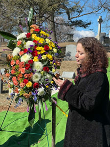
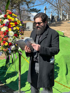
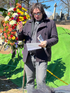
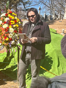
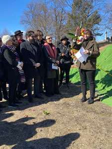
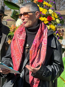
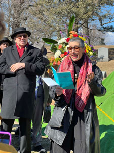
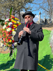
To me, it was a really special day—full of small discoveries, good company, and moments of connection across neighborhoods. I’m deeply grateful to everyone who joined, shared, and made time to be part of it.
Special thanks to Jeannine Bardo, director of Stand4, and to Sarah and Anika from the Ferry Community Outreach team for making it all possible.
I hope these notes, reflections, and glimpses offer something back to those who were with us, and to those following along from afar. You can view the full album of photos from the day and the exhibition here. Meanwhile à bientôt ! and keep in touch!